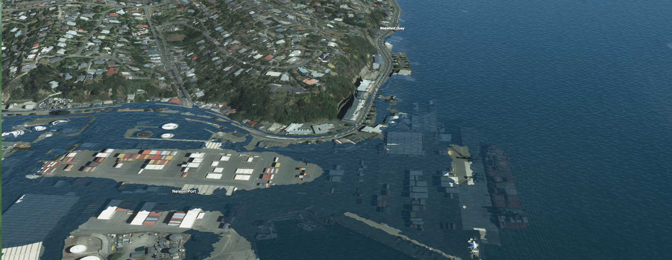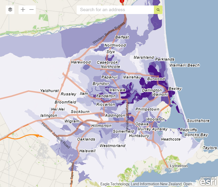


Our Geospatial Solutions team work with a range of GIS tools for analysing and understanding the world around us. They allow us to collect, analyse, and visualise data, making it easier to identify critical patterns, trends, and relationships for decision-making.
At Tonkin + Taylor, our team of GIS experts uses advanced technologies and tools to help our clients better understand projects, identify potential risks and opportunities, and optimise decision-making. Whether you are in the public or private sector, our geospatial solutions can help streamline operations, increase efficiency, and reduce costs.
Our client-focused team provides solutions tailored to the unique requirements of your business, ensuring success in your future projects.