


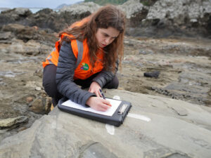


Following the 2010-2011 Canterbury earthquakes, there have been significant improvements in the scientific understanding of liquefaction hazards in Christchurch. Christchurch City Council (CCC) needed to collate this updated knowledge into a resource that could broaden public awareness of liquefaction hazards and inform land use planning. CCC also wanted to understand the risk associated with coastal hazards across Christchurch District, and how these could change over time with sea level rise.
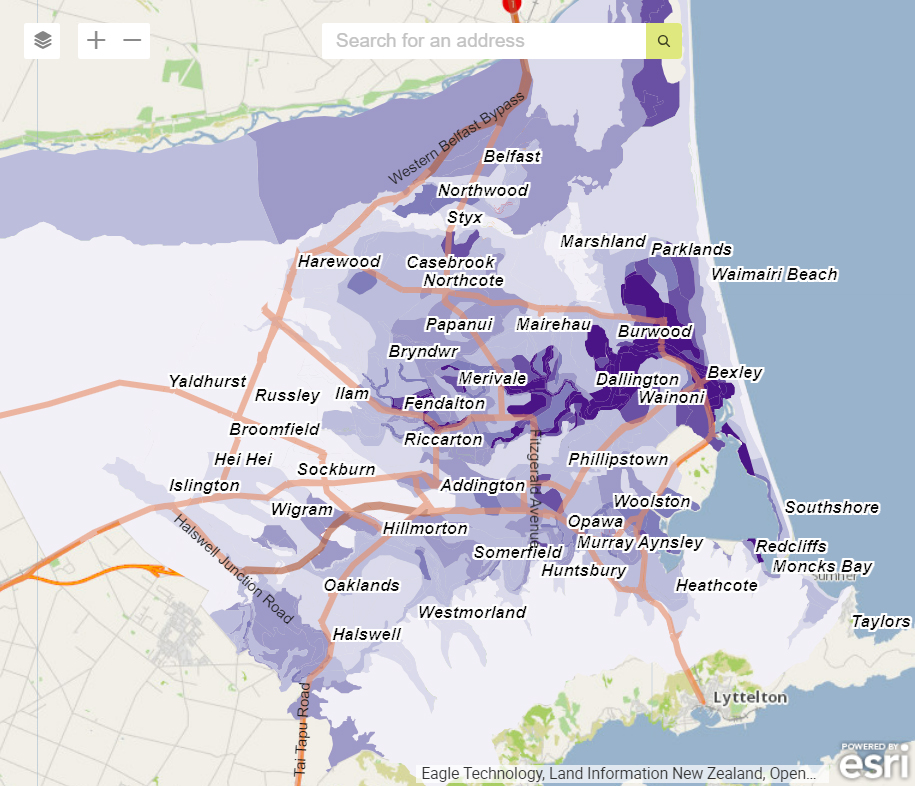
Tonkin + Taylor was engaged to produce a technical report, maps, and an interactive website that shows different patterns of land damage that are likely to occur across the city by considering the magnitude and location of the earthquake and groundwater levels. The interactive map also had the ability to visualise the impacts of coastal flooding, coastal erosion, and groundwater caused by sea level rise.
Our team, with the support of Abley Ltd, collated technical reports and maps to design and build a website that enabled the public to explore how the varying earthquake and groundwater parameters can change the distribution and severity of liquefaction-induced land damage in their neighbourhood. Visitors can also view liquefaction vulnerability via a category map. The final website allows them to look at how liquefaction might affect their land over the next 50 years.
From a coastal hazards perspective, the website visualised:
- Coastal Flooding – to see how sea level rise and dune erosion could change the area and depth of flooding in frequent, occasional and rare flood events
- Coastal Erosion – to see how sea level rise and long-term coastal processes could change the area of land potentially prone to coastal erosion
- Groundwater – to see how sea level rise could cause a rise in groundwater level, resulting in wet ground or surface ponding
The challenge of this project was designing a website that delivers technical information which the public can easily understand. We successfully moved complicated GIS and technical data to a platform which provides a layman’s view (point and click) of data.
The team managed an IT project responsive to CCC and the public community’s engagement needs and changing requirements and developed the site considering the community sensitivities and over-exposure to data. The website was designed to maintain technical robustness while being easily understood by the public.